Ystradgynlais Railways
Though it does not have any railways at all now, Ystradgynlais once stood at an intersection of railway lines, including those along the Swansea Valley from Swansea to Brecon, those coming up from Neath, and those going up the Amman valley to Brynamman and Ammanford.
Not all of these passed through the same station, of course, and the line up through Cwmtwrch into the Amman Valley had its own railway stations.
The line from Neath would come first through Coelbren before descending to join the Swansea Valley line at Abercrave.
Stations along the Swansea Valley line included Pontardawe and Ystalyfera before Ysradgynlais, and Abercrave and Penwyllt afterwards.

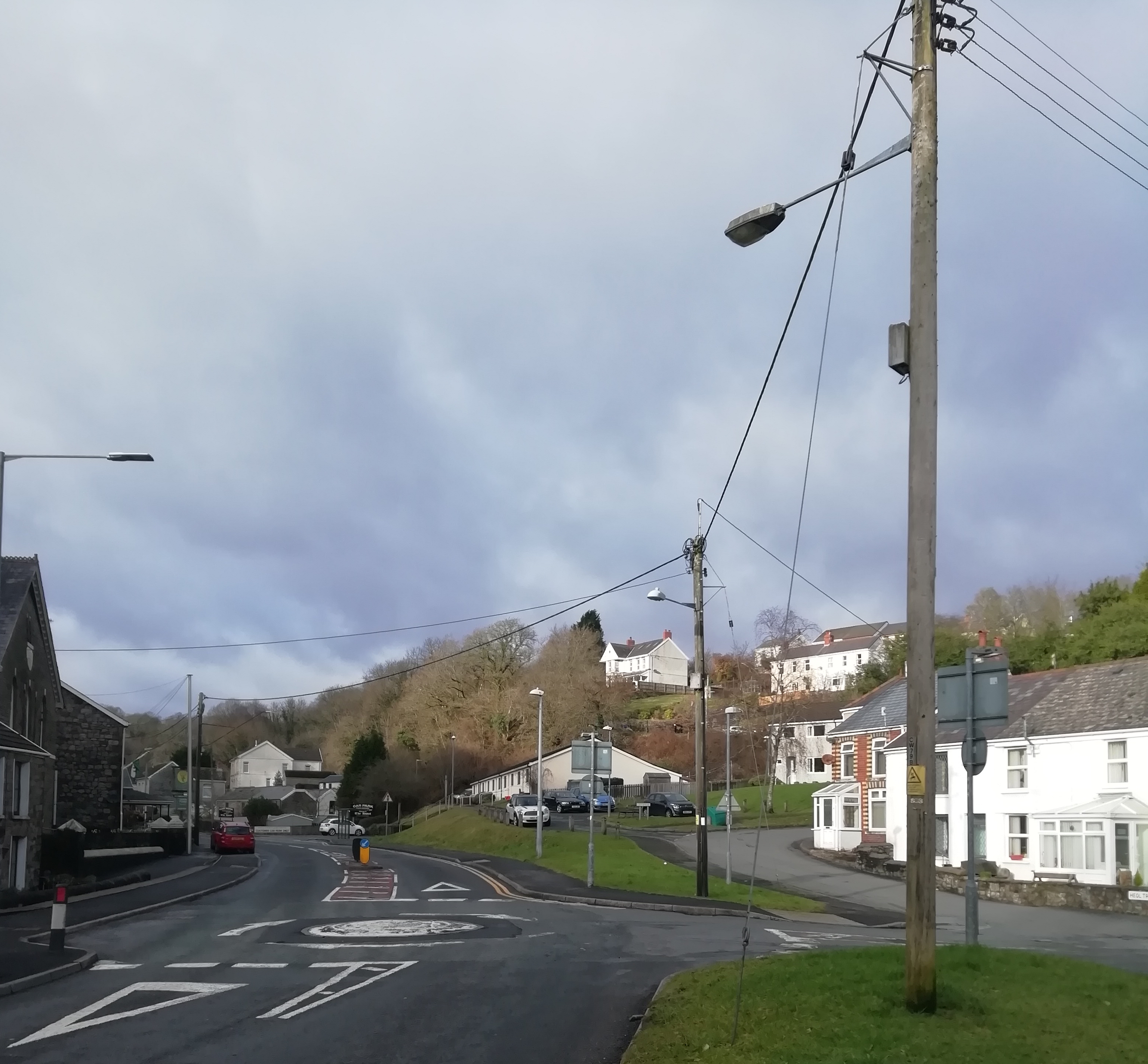
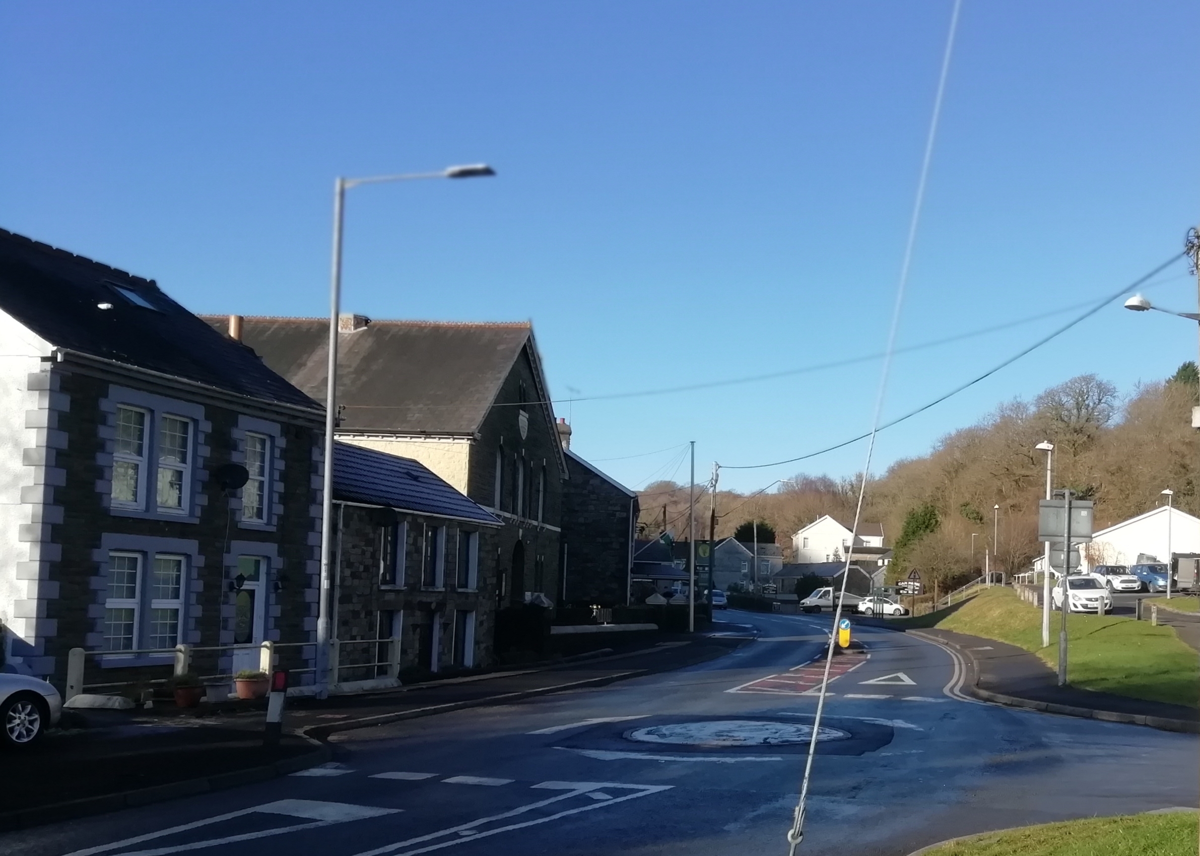
Gorsafl off Station Road as it ascends towards Neath Road out of Ystradgynlais was, as the name suggests, the location of Ystradgynlais Railway Station. As you enter the road, the long house on the left used to be the old Railway Inn
The old railway line to what was once Abercrave's railway station in Cae Hopkin is now the walking and cyclepath, accessible at various points such as the path to the side of the new school in Penrhos.
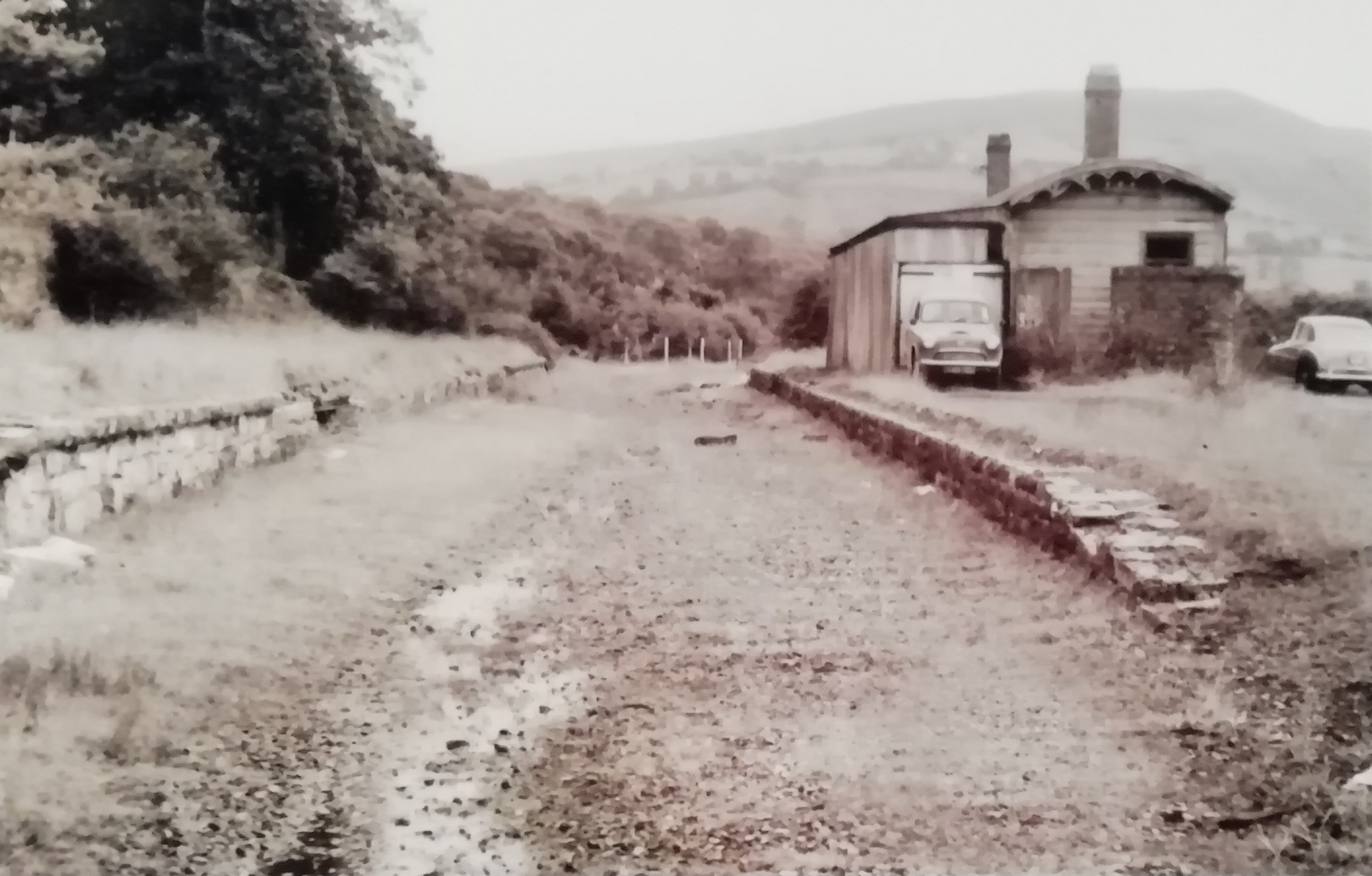
YSTRADGYNLAIS RAILWAY STATION
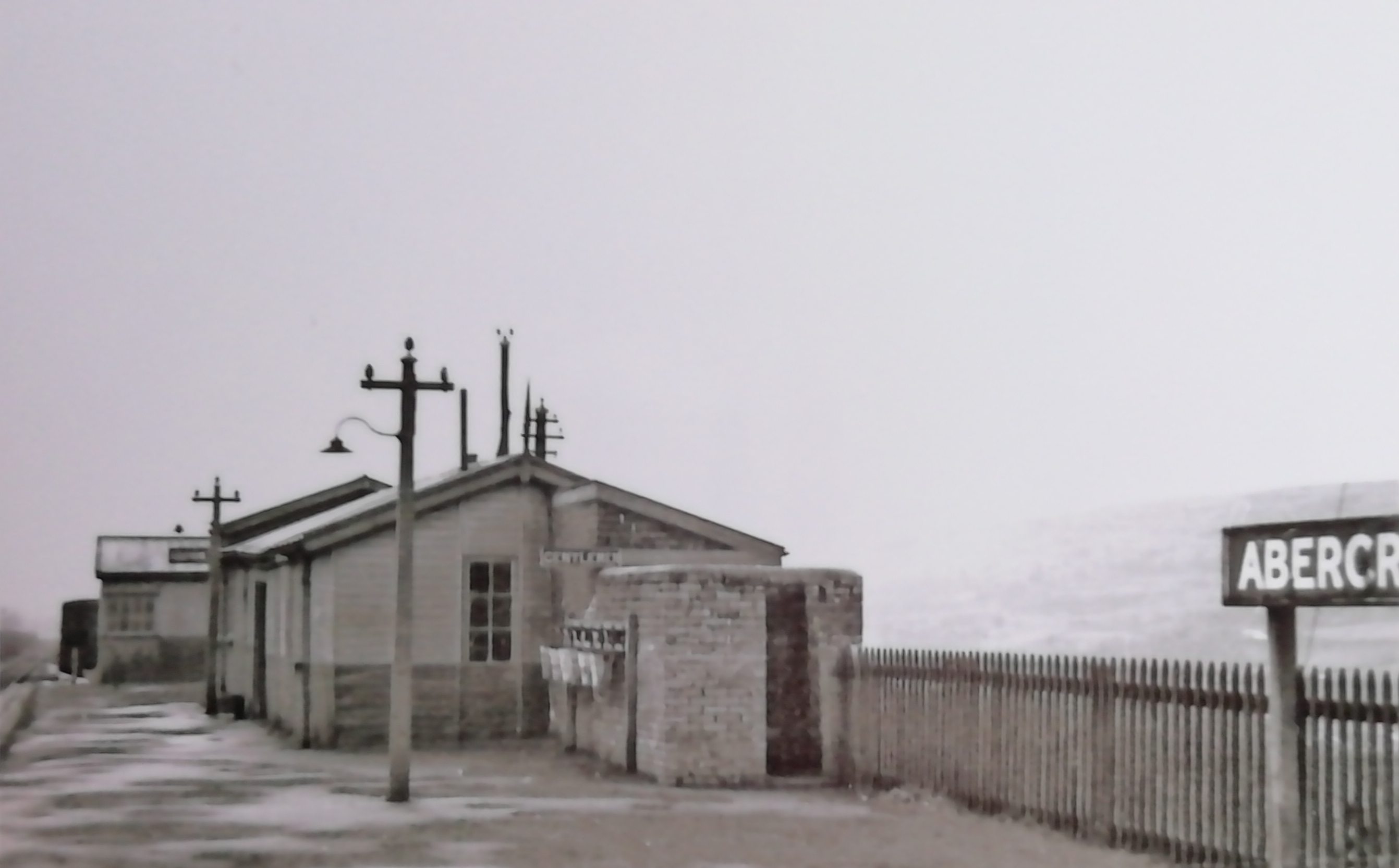
A photograph of Ystradgynlais railway station after it ceased all use. From the cars, this is probably from the 1950s. A print of this photograph from purchased by us from www.railwayphotographs.co.uk
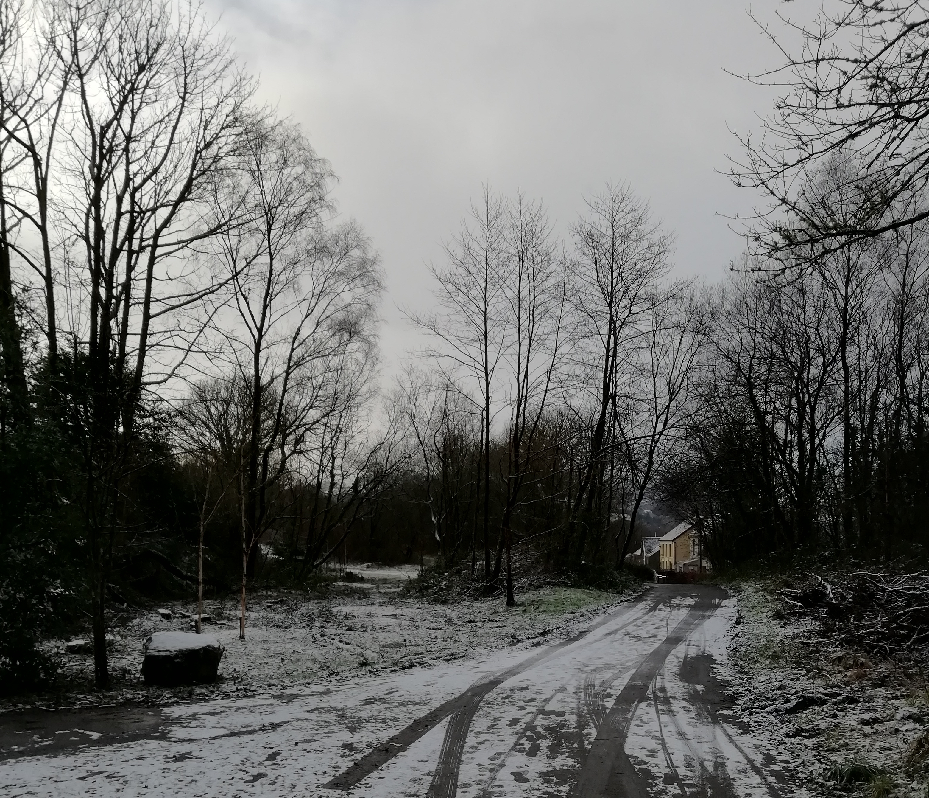
Looking back towards where the photograph of the station was taken. An area of trees has recently been cut down, and in this January 2021 photograph, the original line of the track can once again be seen on the left.
LOWER CWMTWRCH
The Railways of Cwmtwrch, Ystradgynlais
If you look at old maps of Ystradgynlais you can see railways running right up the middle of Cwmtwrch, into the Amman Valley. There were at least two railway stations serving the area, one at Lower Cwmtwrch, which is still standing, and one at Upper Cwmtwrch which, together with the adjacent Saint Peter's Church has been demolished.
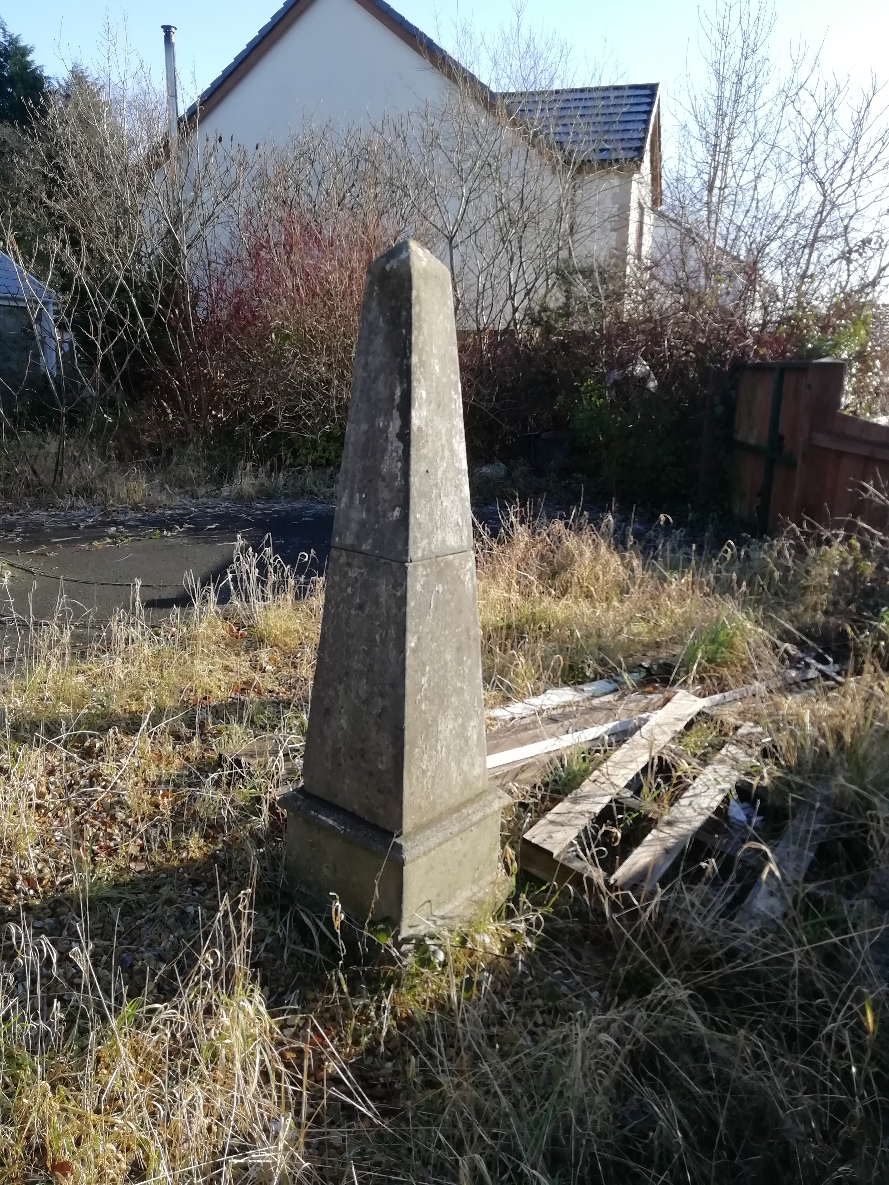
LOWER CWMTWRCH
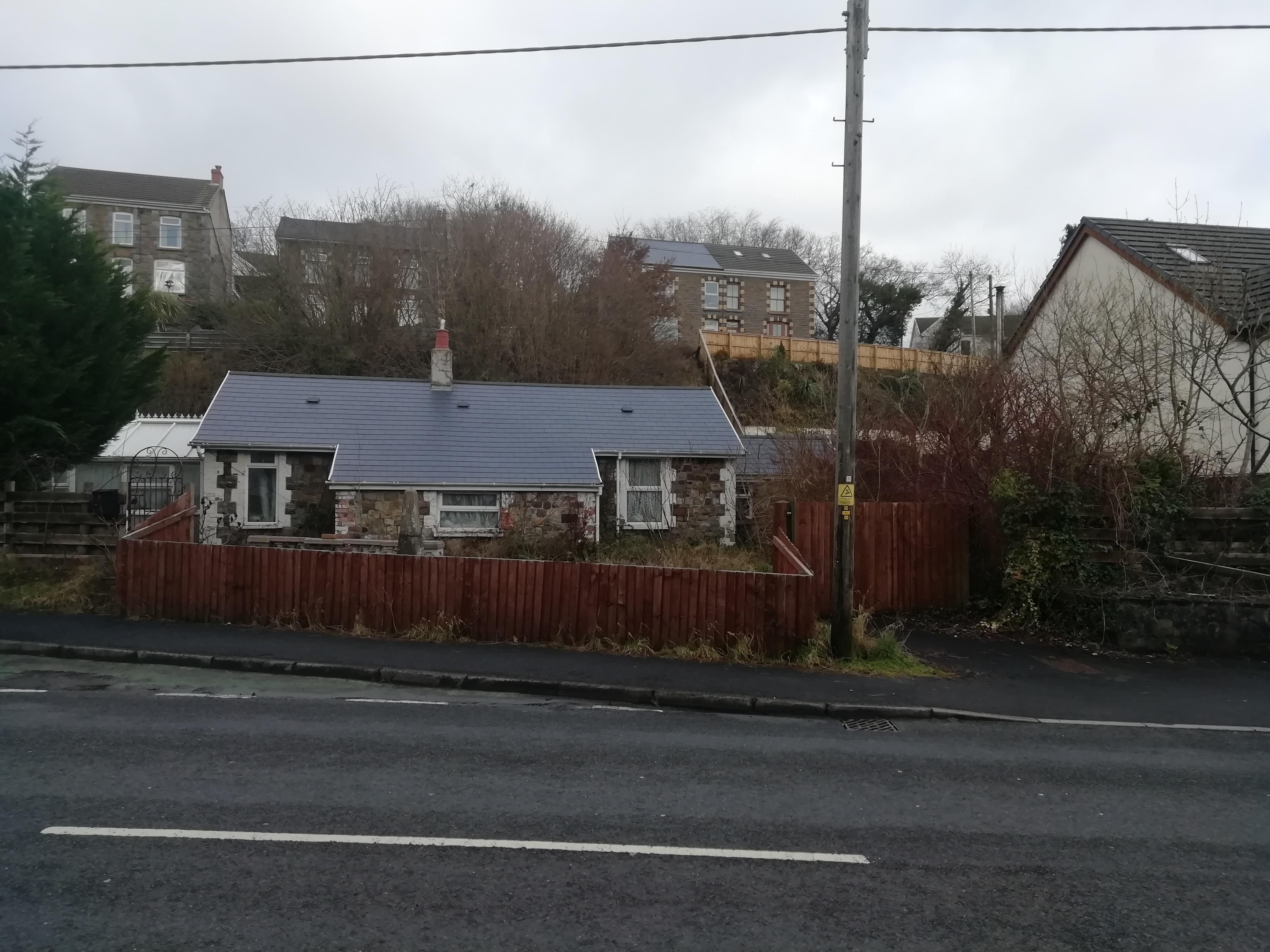
These photographs show the station of Lower Cwmtwrch today, located opposite the old Lion Stores and Post Office, along by Capel Newydd as was.
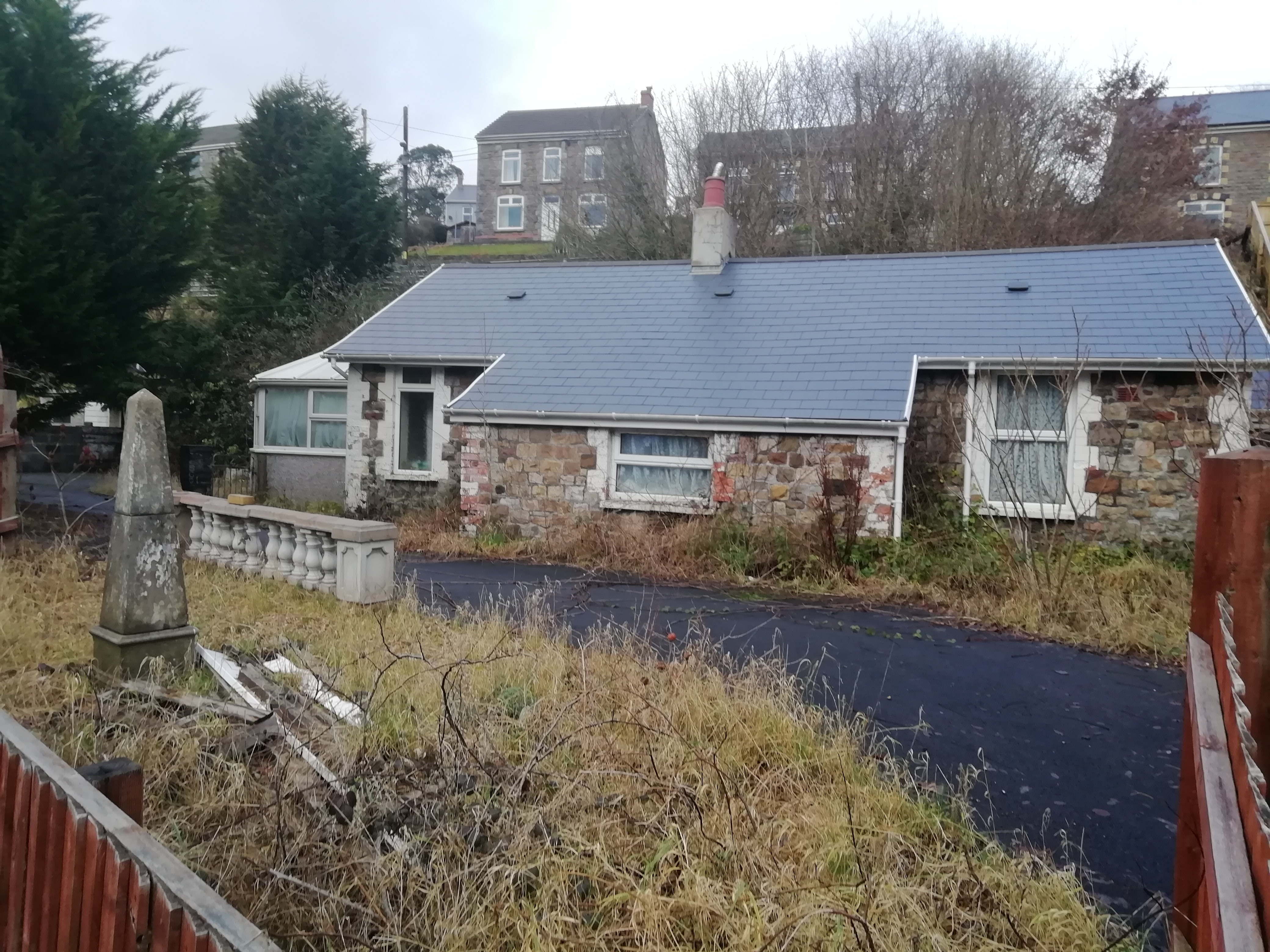
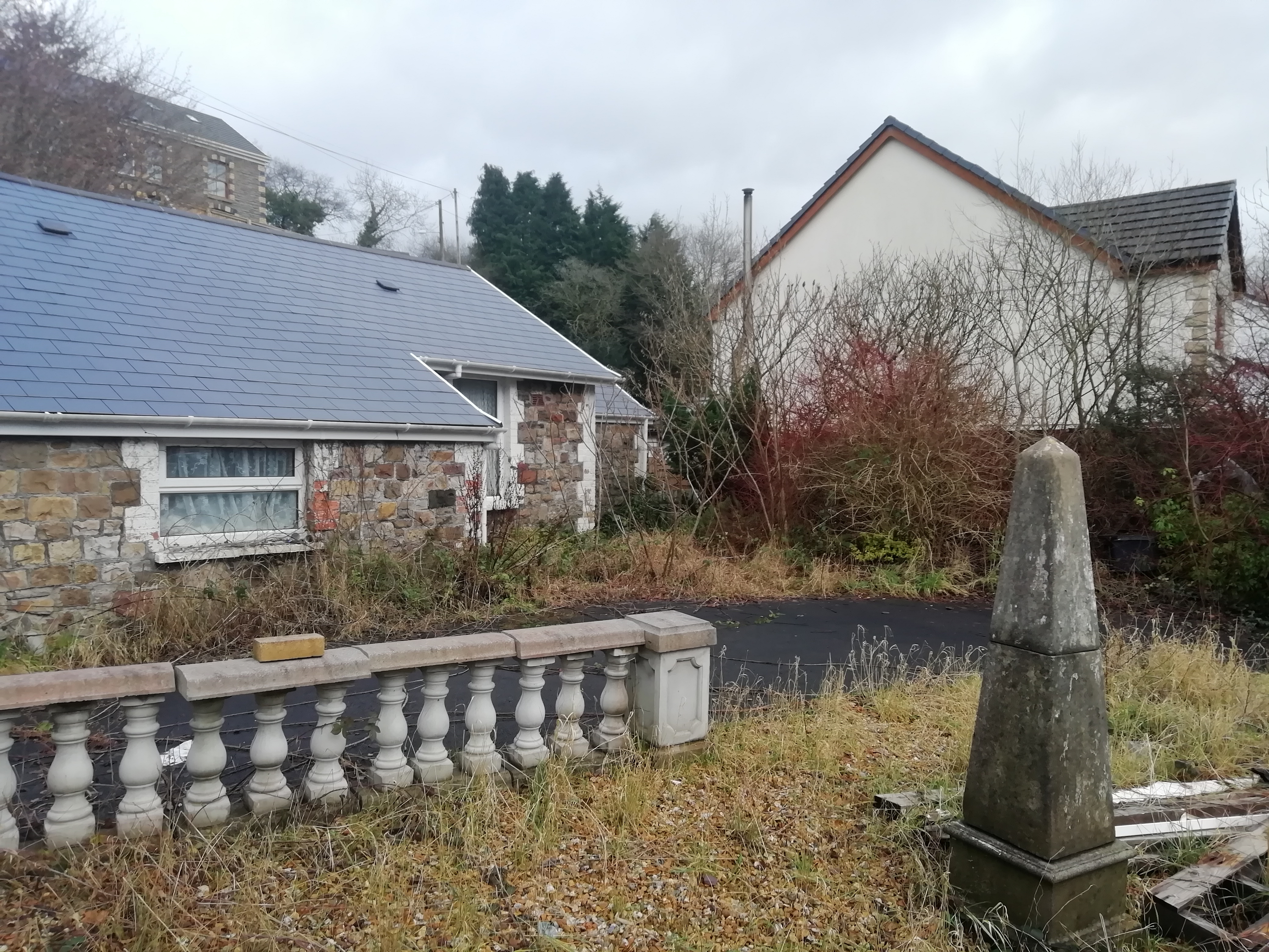
Quite what the origin of the obelisk is, and what it might have signified, I do not know!
GWYS - UPPER CWMTWRCH
The Railways of Cwmtwrch, Ystradgynlais
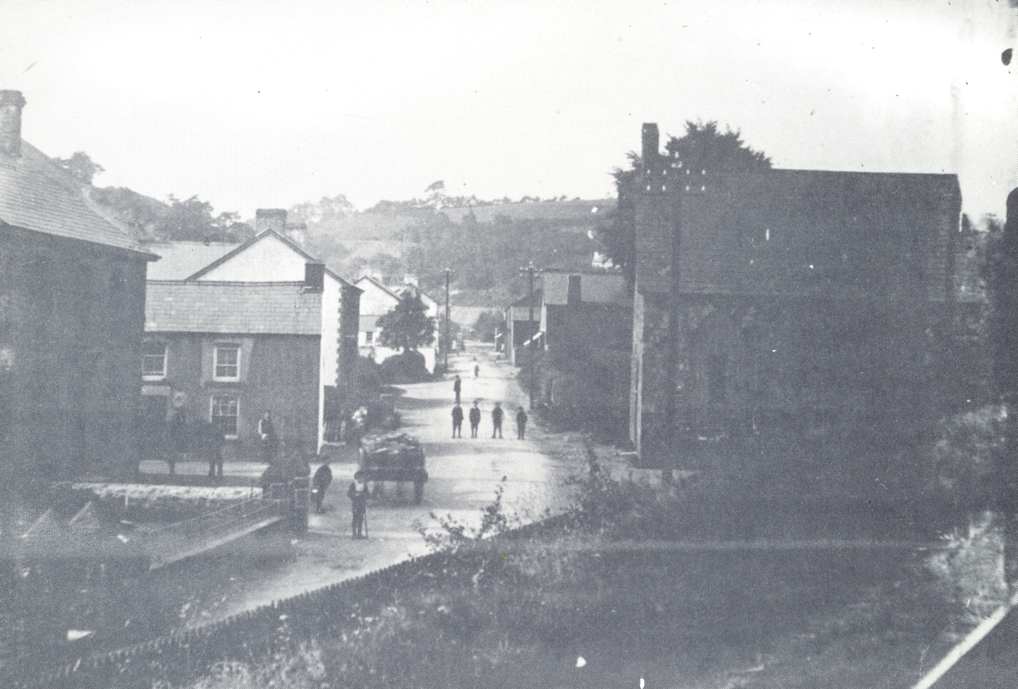
In the above photograph, Saint Peter's Church, Upper Cwmtwrch can be seen, situated across the road from the New Tredegar Arms. This was demolished in the latter decades of the 20th century, and the site is now the across-the-road car park for the pub. The railway can be seen running to the rear of the church (on the right).

DATA
DATA
DATA
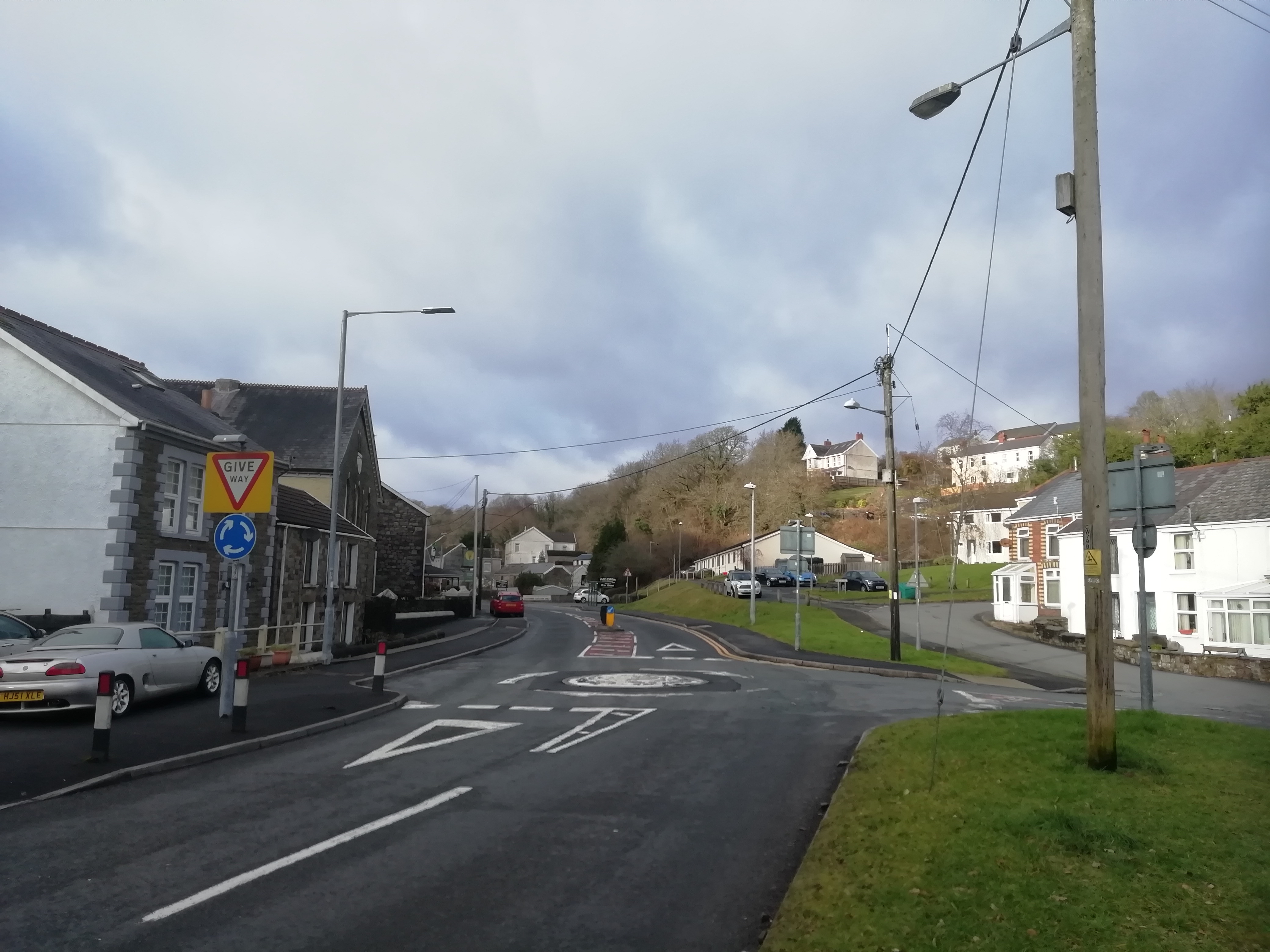
These photographs show Upper Cwmtwrch in 2021, with Ebenezer Church and the New Tredegar Arms on the left, whilst across the road you can see the pub carpark (site of St. Peter's Church) and a row of bungalows above it, which were built on the site of the old Upper Cwmtwrch railway station.
Abercrave
Cae Hopkin, Ystradgynlais
DATA
DATA
DATA
DATA
Abercrave Railway Station
DATA
DATA
Colbren Junction
Coelbren
DATA
DATA
DATA
DATA
A Great Western Railway train approaching Colbren Junction
DATA
DATA


